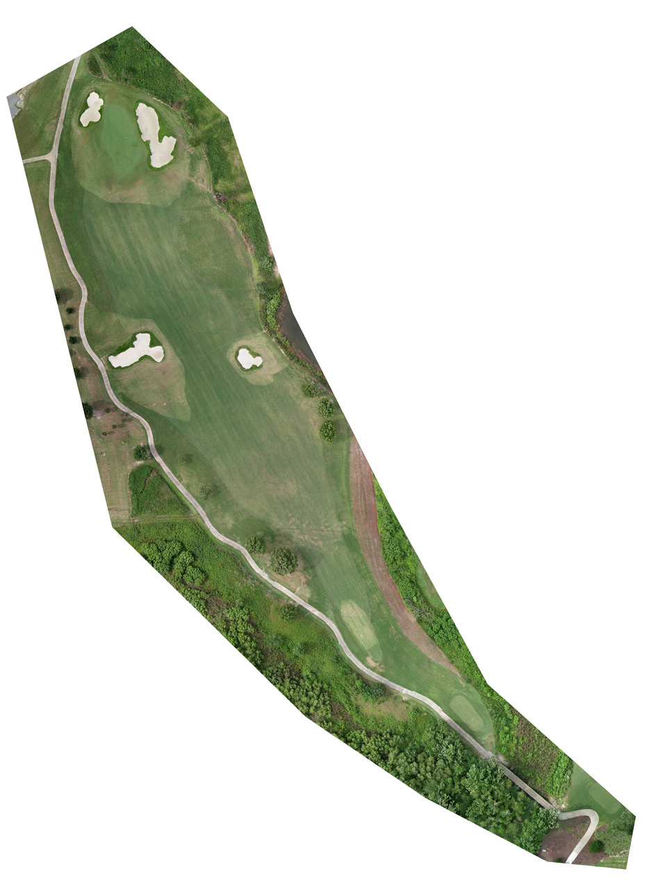
Orthomosaics are large, map-quality images made by combining aerial photos that have been orthorectified, or corrected for lens distortion, camera tilt, perspective, and topographic relief. They offer exceptional detail not available from traditional satellite maps.
Ultra Detailed Course Analysis